
The Niagara River is divided into two sections. Here we have all of the Canada info of the river and in upper and lower sections. Please look in the Niagara River NY description for that info.
Most of the Niagara River in Canada has no dockage areas for one to stop at. Just a couple free boat ramps along the stretch and those are listed below. The Niagara does have the Welland River, not to be confused with the Welland Canal. Also an interesting Black Creek and Navy Island, both listed below. One marina about midway along the river.
Upper Niagara River
Navy Island -
The History of this island will amaze you. Here in the middle of the Niagara River, not far from the top of the mighty Falls sits Navy Island. It is a Canadian Parks Dept property. The only way to get to it is by your boat and there are no docks. You can actually camp here by permit from the parks dept *but check with them on this, as it changes.
Now the history - at one point this island was up for consideration to be the United Nations complex. Being between to great countries but alas it was placed in NYC. Imagine the possiblities this would have brought here.
*WARNING!!!!>>>> DO NOT travel around to the north side of this island. Water depth at 3ft and less at times. Full of deep lengthy vegetation. Also the intakes for the power generation plants are here. When you see the warning bouys, those let you know that you are in the Falls Danger Zone and the current will take you over. Radio the rescue tugs for assistance asap.
43*03'22.4''N 79*00'37.4''W
43.056220,-79.010390
Welland River
Welland River in Chippawa, Ontario -
This is a little tricky.
43*03'43.4''N 79*02'38.0''W
43.062043,-79.043901
You are headed north on the Niagara River in some pretty swift waters (12mph'ish?). Water depths are good and water is very clear.
You can see these clouds of mist ahead of you. Yes that is Niagara Falls!!!
Stay to the left and you will see the opening of the Welland River, not to be confused with the Welland Canal. There is a height restriction right away in a 14ft foot bridge leading to the massive river gates. If you see the Warning bouys, you might be too late. Last hope is the rescue tug based around the corner. Good luck.
Once in the Welland river you actually need to power up as the power generation intakes are a pulling force on your boat. These are on your starboard (right) side coming in.
Welland River is beautiful and the village of Chippawa is nice too. Once you are past the village headed west, you will come to an old wooden turnstyle railroad bridge. Just behind that is the QEW Highway 401 Bridge. Also to your portside (right) / looking north, is a chain of floating bouys. Stay clear of these!!
As you might notice the water here has changed color from a clear or green to a brown'ish color. You will also note that the water ahead is coming towards you. This river flows in two directions east and west, then actually north. This is the point where the water flows into a channel to the power generation plant.
Another warning here! At night the power plants increase the flow into their intakes. It is said that 90% of the water that can go over the Falls, is pulled thru the plants. They return the flow over the Falls during the day for maximum tourist enjoyment. I've seen a sign on the Welland River warning not to tie your boat too tight as the water levels change. I'm guessing almost like a tide. I need to find that sign again for a picture. The sign said a 18 inch difference in water height.
43*02'46.3''N 79*07'05.8''W
43.046202,-79.118266
Yet not done with the weirdness of this river.
Continue on up westward on the Welland and you come to a concret culvert. Here you can not go any farther as this is the Welland Canal. The river that you are on actually flows under the canal. You can not see it like looking under a bridge. All you see is a concrete edge. it goes deep under and flows up where you are.
43*01'43.1''N 79*12'39.1''W
43.028641,-79.210866
So this river actually starts on the otherside of the city of Welland Ontario, in a nice quiet countryside. Here it runs about 30 miles, east thru the city up to the canal. It goes under that, which the canal is 30ft deep and handles boats 78ft wide. It goes another 5 miles to the QEW, which it meets up with the 3.7 miles of river coming from the Niagara River. Uh, crazy.
City of Chippawa on Welland River -
Coming in from the Niagara River you cross under the Portage rd, which this bridge is called the Weightman Bridge <13ft. Before you go under this, on the port (left) is a free use dock that leads up to the center of town. A few bars and eateries here. Also the closer dock to the Foodland grocery.
On the starboard (right) is the free city dock where you can step to Tim Horton's Coffee shop, a Canadian staple.
43*03'24.7''N 79*03'08.4''W
43.056851,-79.052345
Greater Niagara Boating Club -
Easy access to fuel on the Welland River.
(905) 295-7971
43*02'57.5''N 79*04'00.0''W
43.049318,-79.066669
Chippawa Battlefield grounds. Free trailer boat launch and nice dock just south of the Welland River entrance on the Niagara River.
43*03'11.2''N 79*01'25.8''W
43.053117,-79.023855
Netherby road launch. Another free boat launch just north of Black Creek.
42.982512,-79.024537
Black Creek
Is a very small creek flowing into the Niagara River. You will kind of scratch your head wondering why I have this listed here and I'd agreed with you until I peeked under the bridge.
This stone arch bridge guards the entrance of the creek. Standing in my fishing boat, I slowly motor under it as it grazes my hat off my head. Mind you I'm a 6ft+ guy. I have seen pontoon boats without their roof gear up, go under this arch. It sometimes rubs their handrails but they get it done.
To the starboard (right) just inside the bridge is a verified haunted pub, that might currently be the Lighthouse Restaurant. It changes hands a couple times, might be the ghosts.
Continue up the creek and you will see it gets a little narrow. There are houses on both sides that back right up to the waters edge. Now take a good look at those boat docks. Yes they have boat motors mounted on them. What they do is tie their boats to the shore and actually drive the docks down the creek. I swear I'm telling the truth. They even outfit them with lights and radios. One had a full table and 12 chairs around it. I'd say I counted well over a dozen docks like these.
Black Creek goes all the way out to the QEW 401 Highway. Just after that you are in a marsh and it is purposely blocked to keep you out of the golf course.
I highly recommend taking your dingy up here for a unusual ride.
42*58'51.3''N 79*01'24.8''W
42.980924,-79.023554
Niagara Parks Marina at Miller's Creek -
Has a snack bar with burgers and fuel sales too.
(877) 642-7275
https://www.niagaraparks.com/corporate/planning-properties/marina/
42.953011,-78.971135
Lower Niagara River
Niagara on the Lake -
If you are into antiques / wine / bed & breakfast places, this is your heaven. Kind of like the Martha's Vineyard or Hampton's of Canada maybe? Sorry gentlemen, no sports bars here.
Lots of winery tours...lots! If you have bicycles onboard, there are several wineries along the river and a bike path that goes the whole length. Unfortunately not accessible by boat along the river, it is all cliffs.
Two forts here in the Mississauga and the George. Lots of history.
43*15'22.7''N 79*03'45.8''W
43.256307,-79.062733
Smuggler's Cove Boat Club -
http://smugglerscoveboatclub.com/wp/
(905) 468-3331
43.234911,-79.059880
Queenston docks -
Free trailerable boat launch. Busy spot as they park the Canadian jetboat tours here. Not a good spot for boaters.
43.166864,-79.053157
Pirates-Chest.com
Our location and how to contact us...
On the Erie Canal
Gasport, NY
Call or text: email for phone number
*best way to catch me...
Email:
Facebook:
www.facebook.com/pirates.chest
https://www.facebook.com/profile.php?id=100014350205814
*worst way to find me. Still don't know how to tweet...
Twitter: twitter.com/PiratesChest1
*
*Watch
your wake!!!
Slow Please!
10mph
and less in some places.
The western Erie Canal does have speed limits.
The Canal Corp staff at the locks and the lift bridges, actually keep track of your times passing thru. They contact the staff at your next stop, to let them know traffic is coming and to expect your arrival time. Some staff even operate two separate lift bridges.
Slow down.
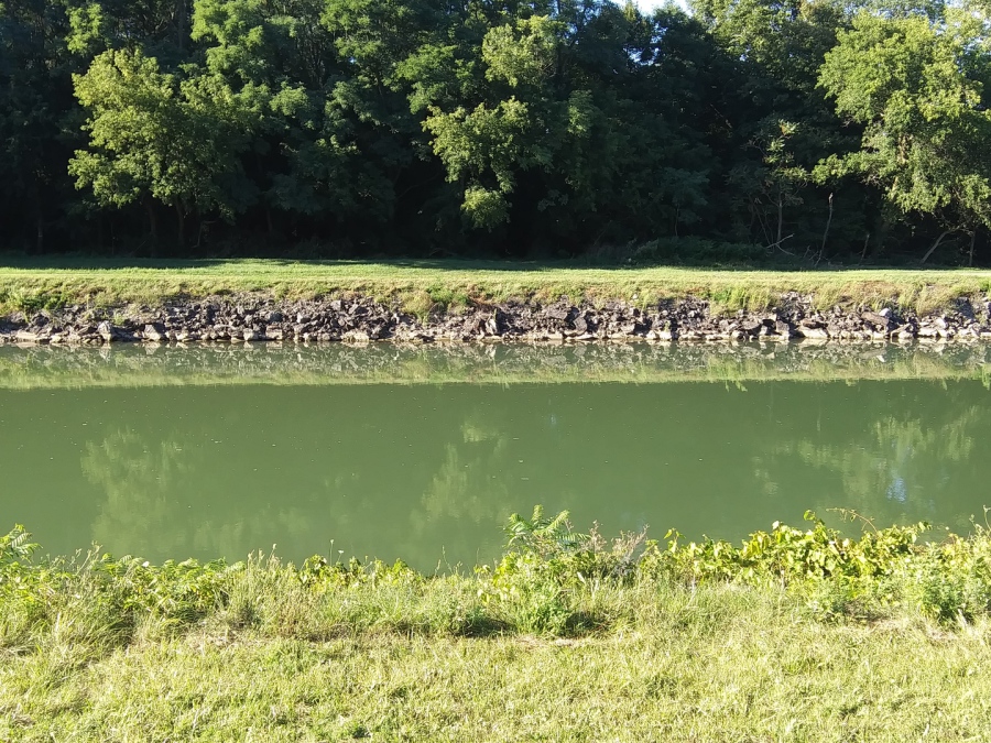
Also bank erosion.
Even though the banks of the canal is covered in large rocks, your wake is undermining it.
This is why we have these ''Guard Gates'' that you pass under every few miles. If the canals embankment has a blowout, these drop to prevent mass water exiting. It has happened.
Watch your wake.
*Please put contact info on your outdoor gear like kayaks; canoe; dingy; life jackets / preservers; throw rings; bumpers / fenders. Anything that can come off your boat.
The reason is, say if your kayak slipped off without you knowing and is found out by itself. Now local fire depts and the Coast Guard will be out looking for a potential water rescue victim(s).
These rescue teams can contact you without doing a massive search for a non-existing emergency.
We all want to find those in need of help, but wayward items just puts undue stress on resources.
Thank you.
Hungry??
If you are out on the Great Lakes or other waterways around them and looking to eat.
'Dock and Dine' lists eateries that you can easily access by boat. In most cases you can dock right there or it is a very short walk.
Check them out or send them a link to your favorite place for them to list.
https://www.dockanddineloop.com/
Hey, do you live on the Erie Canal or close by and want to be a local host?
Hosts help people on the canal like the walkers; cyclists; kayakers; boaters and others. All these groups are so different, yet use the same space here on the canal. Local people that live on the canal, see all the people and some want to help.
Mixed in the listing on the webpages here will be a few Erie Canal Hosts. They might have a private dock; a place to pitch a tent or RV spot; a parking spot for your car or trailer for an extended stay; a local onsite person to help with issues or as a guide.
Does that sound like something you want to assist with? Send me a message and I will try to explain the details better.
https://www.facebook.com/groups/NYSCanalwayWaterTrail/permalink/1015667725630626/
Do you need your boats AC unit serviced?
Located in Tonawanda NY, western end of the Erie Canal. Call Tim (716) 831-0333
Fellow big boat owner and good guy.
Need a Ford Bronco rental in Buffalo NY?
Here is an Airbnb for your stay..
https://www.airbnb.com/rooms/34679306?source_impression_id=p3_1659269464_Ss1rTD4ZUZcagkM1
How about do you need a campsite on the western Erie Canal?
You are in luck...
https://www.hipcamp.com/en-US/new-york/tomtuga-on-the-erie-canal/on-the-erie-canal-gvt-railroad